
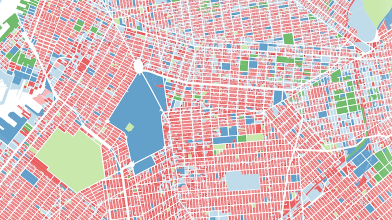
Recently, the city released a massive bundle of data about every lot of property in the five boroughs. Naturally, an intrepid data visualizer has already implemented it into a series of beautiful, informative interactive maps.
Andrew Hill created the PLUTO Data Tour, which uses the data to look at things like the tallest walk-up in the city (a 16-floor monster on the Upper East Side, according to the data, which Hill doubts), the number of units in every property, the city’s highest buildings, and the lots least accessible to public space. Everything is zoomable, so you can take the wide-angle view of the city or focus in on your own neighborhood. It’s a lot to take in, but it’s laid out wonderfully.
