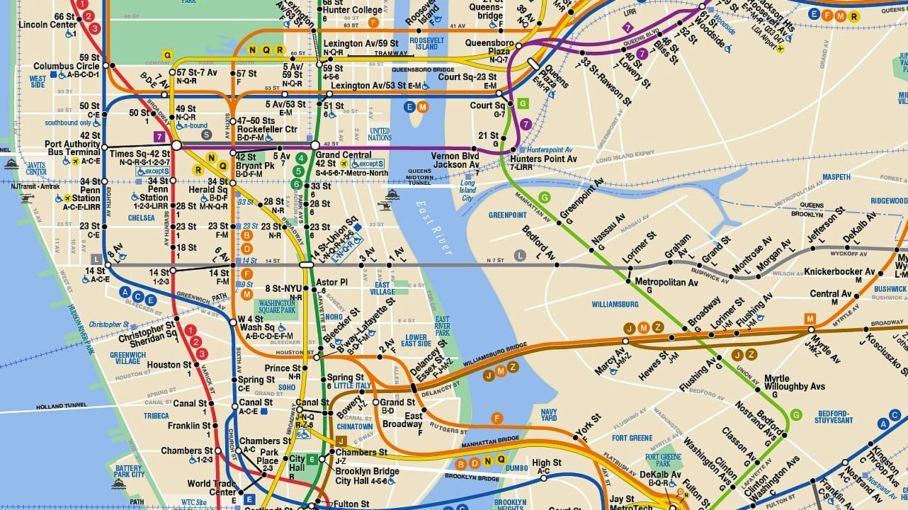
This ingenious infographic, created for the New Yorker by designer Larry Buchanan, illustrates New York City’s wealth disparities by plotting median household income against every subway stop in the city. Each train line is displayed individually, making it very easy to see the close relationship between geography and money. Witness the immense dropoff between Grand Street and Montrose Avenue on the L, for example, which jumps right back up at Morgan Avenue, or the income spike in Manhattan on every single line. See how your stop stacks up here. Via Co.Create.